For those of you who took the opportunity to go for a walk in the sunshine to Camber Sands on Christmas Day you may have notice a plethora of new signs and, whether you are arriving on foot or by car, you are now under no impression that you are welcome on land owned by Rye Golf Club.
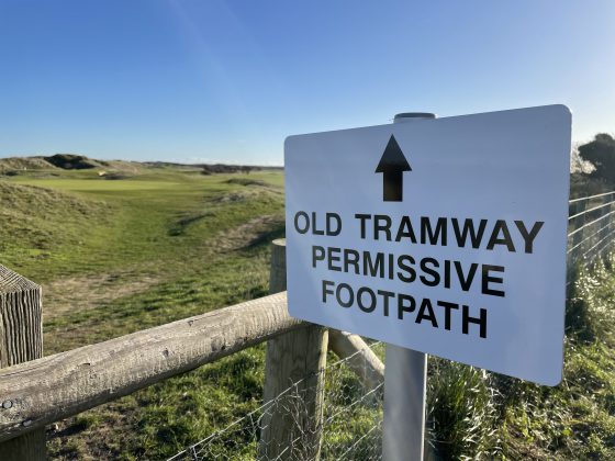
In addition to the “people counters” that appeared last year, that count the number of walkers, new signage has appeared informing walkers that they are on a “permissive path” – ie it is not a public right of way and the permission to walk on the path can be withdrawn by Rye Golf Club.
For drivers using the tramway to take their dogs for a walk on the beach, and who park at the old station house, the message is even clearer – don’t do it.
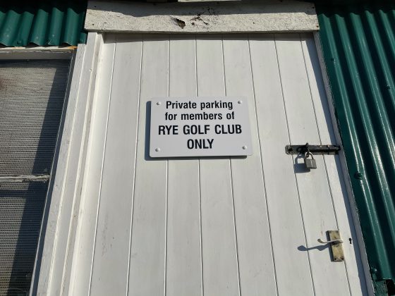
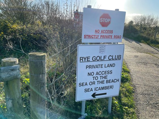
Rye Golf Club have put up signs saying “Private Parking for members of RYE GOLF CLUB ONLY”. In addition a number of signs have been erected as you enter the road, saying “STOP. PRIVATE ROAD. STRICTLY NO ACCESS. AUTHORISED FOR RYE GOLF CLUB AND HARBOURMASTER ONLY”. And if you didn’t get the message further signs says “STOP. NO ACCESS. STRICTLY PRIVATE ROAD”, while another says, “RYE GOLF CLUB. PRIVATE LAND. NO ACCESS TO THE SEA OR THE BEACH. SEA (CAMBER)” and contains a helpful arrow ⬅️ pointing you towards Camber.
The stretch of path from Rye along the river Rother to Camber is one of the most popular paths locally. As Rye News recently reported most of it will be closed by the Environmental Agency to allow for the flood defences to be strengthened.
No National Coast Path through Rye
Readers will remember that the stretch from Rye to Camber Sands is also one of the breaks in the National Coast Path that is being developed by Nature England. As previously reported the path will not be coming through Rye because of objections from Rye Golf Club to walkers using the old tramway. “There is a strong likelihood that any such imposing of the pathway across our golf course would result in a significant increase in footfall which in turn could seriously impact the ability to retain a number of golf holes because of health and safety. We continue to reserve the right to review the use of the permissive pathways”, a spokesperson from Rye Golf Club said earlier in the year.
At the time of writing it is unclear if alternative paths are being explored by Nature England but at a recent Rye Town Council meeting it was agreed that the Environmental Agency should be pressed to create a path all the way along the river Rother, from Monk Bretton Bridge through to Camber Sands, along the top of the new flood defences. “Any future work on the Environment Agency’s flood defence works around Rye, such as the Eastern Rother Tidal Walls Scheme, provide an opportunity to make improvements to both routes into Rye and connections between those linking outside” say the minutes of the meeting.
This would go some way to replace the rights of way along the River Rother that ESCC have allowed to become impassable and may also deter walkers from exercising their right of way to walk across Rye golf course.
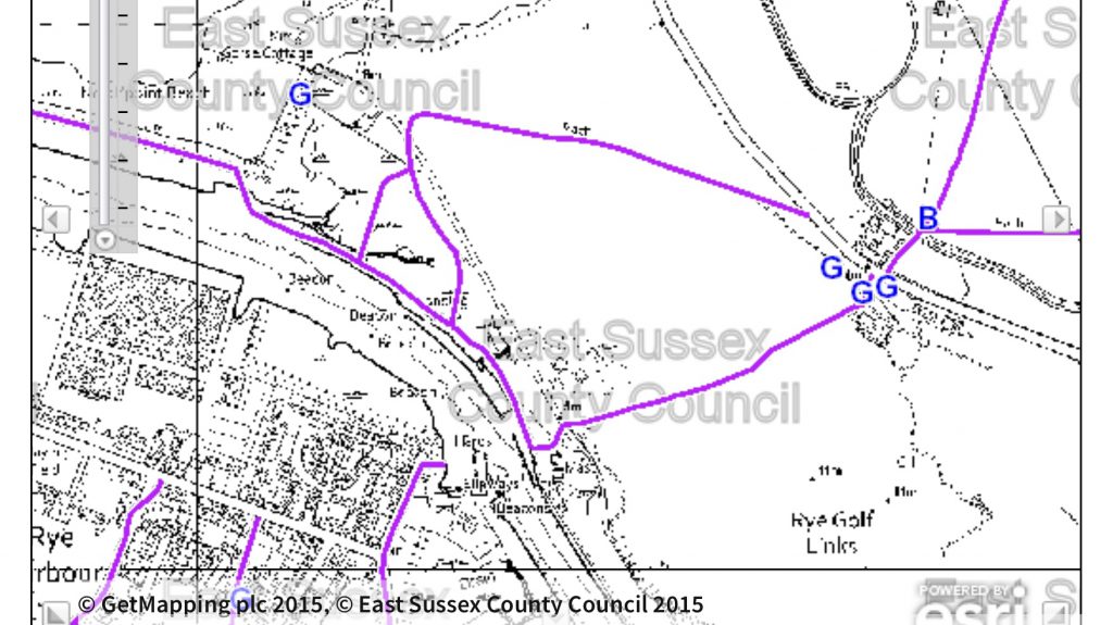
One of the positive outcomes of the Covid-19 pandemic is that people have dusted off their OS maps and rediscovered the beautiful coast and countryside around Rye. The UK government and East Sussex County Council have both issued plans to encourage us to walk and cycle more, but these plans rely upon local authorities and landowners to show willing and to give, and maintain, access.
After all, the strengthening of the flood defences along the Rother, which will in turn protect Rye Golf Club from future flooding, is being paid for from the public purse. It only seems fair that the public should be guaranteed access into the future. We can only hope that the plethora of signs recently put up by Rye Golf Club isn’t an indication that they are about to restrict access to one of the most popular walks locally.
Image Credits: Kevin McCarthy , ESCC .


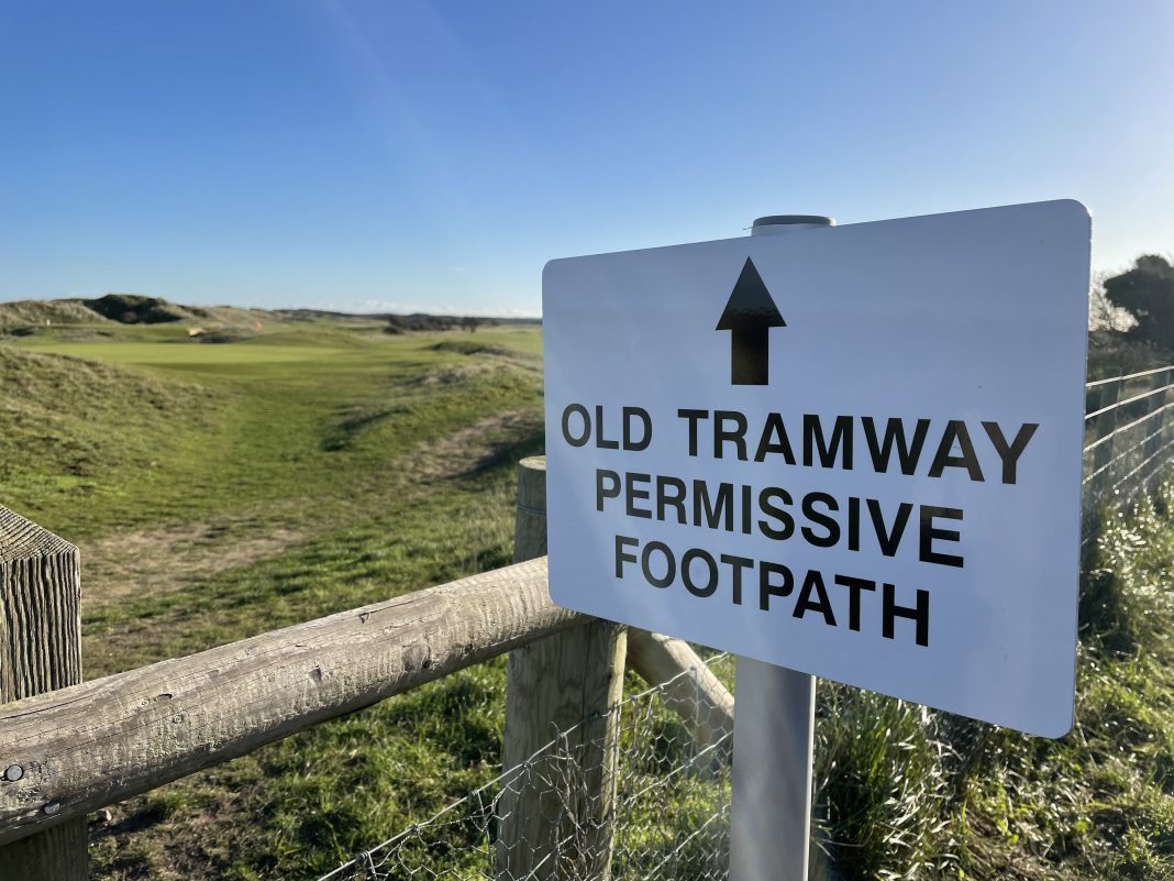
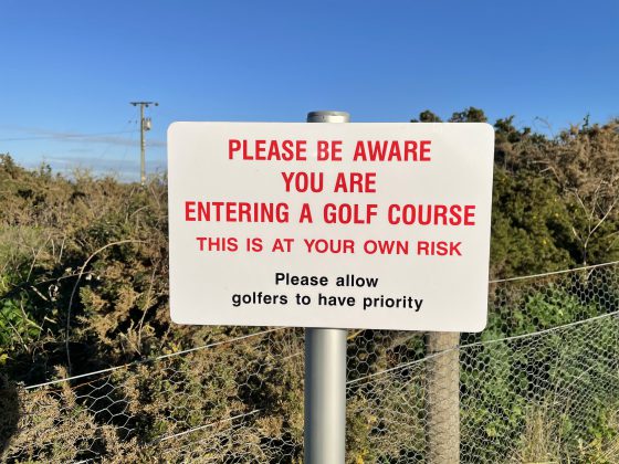

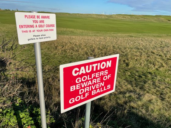
As a golfer and a walker on the course at Rye, I am appalled by the number of people who access the course with their dogs and then roam freely over the course, ignoring the signs asking people to stick to the tramway footpath.
Many people allow there dogs to defecate all over the course without picking it up. Frequently, uncontrolled dogs run over the greens picking up players golf balls. Larger dogs, off their leads, have also attacked my own smaller dog.
With rights to use the permissive pathway come responsibilities.
There is of course already a path that takes people from Rye to Camber which anyone can use so I’m always a little concerned that complaints about how the golf club exercises it’s own rights, aren’t perhaps motivated by other factors.
I regularly walk across the golf course with my dog and I think Simon Benn’s description is grossly exaggerated! Dogs attacking golfers’s dogs, defecating everywhere, frequently chasing golf balls ? Really?
Most of the people I meet have their dog close by and keep to the path. I would suggest it’s the golfers who let their dogs run free over the course not walkers.
It is a lovely walk. I hope that we may be able to continue to use it.
I’m horrified to think the golf club has the power to close the old tramway permissive path across the golf course. Isn’t it rather ironic that this section of the tramway from the station was built as an extension to the line to ferry holiday makers to the beach at Camber in Victorian times.
The walk is a gem that needs to be preserved and kept open. Why should small elitist group have such a say in something that ordinary people enjoy?
Please, can we have less of the “them and us”? There’s no need for this. I’m not a golfer but the permissive path does cross their land and as with all permissive paths the landowner does have the right to close it, popular or not. Anyway, Kevin McCarthy’s article was mainly about vehicles using the harbourmaster/boat-owner/golf-club road. This is very narrow and one-way and should always be kept clear for emergency access to the harbourmasters and boat moorings at the end.
Well, the first comment was pretty divisive?
Wow to think I’ll be stopped using a footpath and parking area we as a family have used for 4 generations and myself for 40 years is quite concerning I’m not entirely sure it’s justified, before the Harbour Masters was filled up with Solar Panels not many people parked in the tram way parking area, I agree it certainly appears to be more popular than it used to be but then again most areas to walk in are this climate.
There are 2 fully legal and open public rights of way which access the golf course directly from the club house off the Camber road, 1 path heads south from the Golf course car park to the right of the golf course office down to the harbour master office and hence the beach via Environment agency (hence public owned) land and the 2nd heads directly west from the car park to join the Rother path. ESCC have refused to mark these paths adequately from the main road with a posted way marker, relying instead on a small 3″ marker disc which is overshadowed by the numerous ‘Private ‘ signs erected by the golf course at the entrance to their car park.
I strongly suggest people help advertise and promote the use of these public footpaths as often as possible as they too (for some reason as yet not explained) now have people counters type posts erected. Under H&S rules and regulations the Golf course must stop all activity which they claim endangers persons who are legally accessing the footpaths. It must be remembered that the footpaths existed prior to the golf course being built across them so any restrictions due to public access were well known and accepted then as they should be now.
It is only once this public pressure has been applied will the golf course, ESCC and the Environment agency renew the missing footbridges across the marsh gullies and reopen the walking route fully or develop an alternative direct estuary route (maybe a raised walkway across the marsh) along the new flood control work barriers.
The marsh footpaths to the north of the harbour masters office are still legal rights of way and will remain open during the forthcoming flood defence works as the Environment agency has taken no action to close these during the planning process. These footpaths are accessible and not wholly washed out as suggested by ESCC, however you have to access route via the various fishing equipment, debris, vehicles, dumped boats and no access signage which have been placed to clearly deter legal access through Environment agency and hence public owned land.
I strongly recommend that all dog walkers keep to the public footpath through the golf course, been playing at rye golf course for many years , there as been an enormous amount of dog walkers on the golf course this past year, mostly they stick to the public pathway but there is some being very irresponsible and wander onto the fairways very dangerous for them.
Only this morning at 07-55 a dog Walker was walking on the 6th fairway on the old course not with one dog or two dogs but five dogs running everywhere’s unbelievable, had we been 5 minutes earlier a dog or or the woman dog Walker could have been struck with a golf ball travelling at a very fast speed, absolutely stupid for her to do that, just off the side of the 6th fairway are 2 safety Posts one either side you press a button and that’s connected to a remote green light which tells you can drive from the 6th tee safely.being out on the golf course first with nobody in front of us we therefore could drive off knowing that nobody was on the fairway as I said 5 minutes earlier then we could have driven our golf balls straight into them causing a serious injury. So please keep to the public footpath
As you walk along the main cycle path from Rye, approaching Camber, there is a large field on your right where people seem to be practising golf shots. I am afraid I dont know the proper name for it – its not part of the main golf course. The sheep field on the left is full of golf balls – hundreds of them. While we were mulling on that, a ball shot towards us, at colossal speed, over the path and into the field. Fortunately our heads were a few feet behind the trajectory. This doesnt seem very safe. Do we just cross fingers when we go down that path?
This map – Ordnance Survey 1949=70 – the first map after the Camber Tramway was removed – the path of the tramway through the golf course is shown as a public footpath
https://maps.nls.uk/geo/explore/#zoom=16&lat=50.93825&lon=0.77099&layers=193&b=10
Thank you Stephen, I wonder when this was changed? Clearly not shown on the most recent OS map?