The old saying is that an army marches on its stomach. While true, an army, stomachs included, needs something to march on. The English road system really began after the Roman invasion of 43AD. Before that there was a limited network of rough tracks that tended to follow the high points in the country. In reality there was very little travel outside one’s immediate area.
Whilst there are many more famous towns and cities with a Roman connection in England, the roads around Rye leave a few clues to what was happening almost two thousand years ago.
Not surprisingly, the first Roman road in England was built from Richborough, where the invaders first landed. It became known as Watling Street and ran through Dover, Canterbury, London, St Albans and on to Wroxeter, which became a substantial Roman settlement in present Shropshire. It was later extended to reach as far north as Hadrian’s Wall. Later, the Anglo-Saxons, when using and amending the Roman network, called the road between London and Canterbury Casingc Straet, Key Street. This name survives in a small village on the route, near Sittingbourne.
By the end of the first century AD, the Romans had constructed more than 8,000 miles of roads in their new possession. The total in the whole of the empire was about 250,000 miles, with its 13 provinces on a system of 372 main roads. At least 80,000 miles were fully paved with stone. The routes of many have survived as the routes of modern roads. Simply, they were the most direct possible route, with, as far as possible, long straight stretches. The Roman builders were very intrepid. When, on their journey north, through the hills of Sussex, their roads mostly just went up and over the top, unlike their Victorian and later counterparts, who were, of course, able to just blast their way through. Some were cut through smaller, earthy, hills, bridges of brick were built over rivers and gullies and, when crossing marshland, the roads were supported on timber piles.
In our own area we know that there were important roads, so that the iron ore for which the Weald has long been known, could be easily transported to Londinium and other parts of the country not so rich in this important product. Then, from the 3rd century there were increasing raids on the east and south coasts by the Saxons. The roads then became militarily important links between forts such as Portus Lemanis (Lympne) and Anderitum (Pevensey.) There was, of course, another fort on the shore at Riduna, which seems to have been in the area of what is now Rye. Although no records of its location have survived, it too must have been linked to the road system, so we may have an archaeological surprise in store at some time.

There was also a major road running from Rochester to Hastings, which passed close to Rye. In 2001, a section of it was entered into the county records, when it was exposed in a riverbank near Bodiam. About 10 metres of its slag iron surface had survived, with part of it cut through by a modern road bridge. Excavation revealed that there were two ditches under the road surface, which may have been related to an earlier, narrower road. It is likely that there were iron works close to the road, which would explain why slag iron was used for the road surface and, of course, the road would have been useful for sending iron to local customers. Bodiam was an important centre for iron production, and ships were able to travel upriver at this period, and moor at the dock there. It would, I believe, make sense for the road to the fort at Riduna to have been a branch off this main road.
The iron business of course predated the Roman invasion, and it has been said that the Romans were responsible for an early form of nationalisation when they took over the country. The works in the Weald area were classed as an imperial estate, which for more than a quarter of a millennium was under the direct command of the Roman navy, the Classis Britannica. Widespread evidence of Roman period ironworking has been uncovered in many of the villages around Rye, such as Peasmarsh, Brede, Icklesham and Broad Oak. What they produced was carried away over a network of roads linking the different works, that were constructed along the higher ground. One of the roads was discovered at Icklesham.
There are clues to Roman occupation in local place names. Cadborough is indicative of an important Roman fortification, and would be the perfect place for guarding the valley of both the river Tillingham and the Brede, down which supplies and, if necessarily, soldiers, could be sailed down to the port at Rye. There is the possibility of a small Roman fort at Castle Field in Winchelsea. To make a truly classical Roman defensive system, there would have to be a corresponding fortification on Playden Hill.
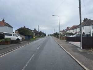
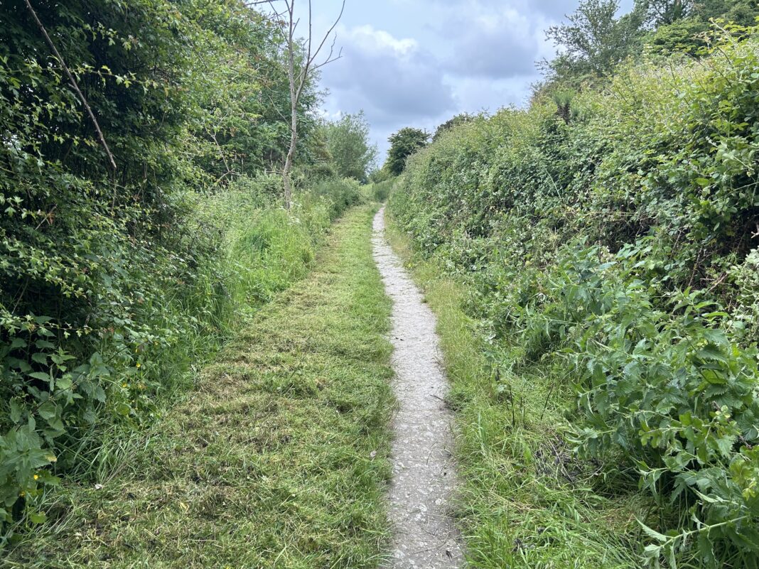
Spreading out further, we know that Sedlescombe was a major centre of iron production, and the present main road through the village follows the route of its Roman predecessor, which linked the area with London. It may also have gone in the opposite direction, to Winchelsea. The road from Rye, through Udimore and on to Broad Oak, Cripps Corner and then to London, also seems to follow its Roman predecessor. There would have been quite a network of roads and tracks, linking the many iron works to the main system. Some years ago a further Roman road was found near the former Pestalozzi site at Sedlescombe, which seems have been the link from the London road to the well known iron working at Beauport Park.
Image Credits: James Stewart .


