With only seven weeks to go until the local elections on Thursday, May 2 (for Rye Town and Rother District councils) Rye may have a referendum on the town’s neighbourhood plan as well on that day – but time is tight.
A pamphlet could be circulated to all Rye residents about the Rye Neighbourhood Plan (RNP), which the town has been working on since 2013, before the vote – which also needs organising.
However Mayor Councillor Mike Boyd said at the Town Council Meeting, last Monday, March 11, that it should be possible, adding: “You’ll be surprised at what we can do.”
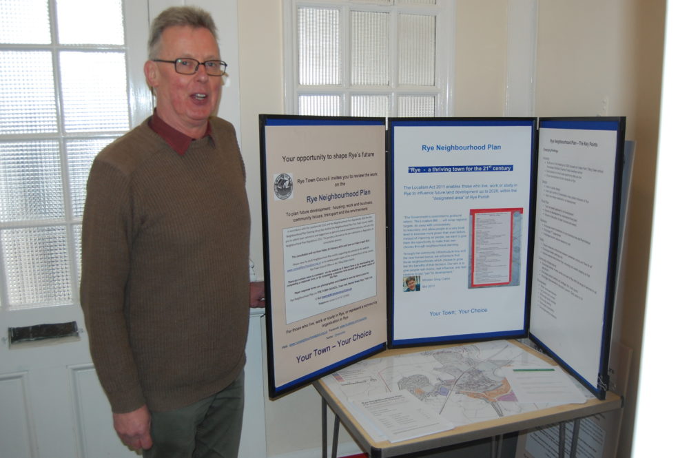
Anthony Kimber, vice-chair of the RNP Steering Group said the town council had approved the plan in 2018 and Rother District Council was now in the lead.
An independent examiner has been reviewing the plan and considering public comments raised in the latest consultation as well as technical points raised by statutory bodies.
He in turn has required the town council to clarify some details and explain some points without changing the basic plan.
If the plan is agreed in a referendum, last week’s town meeting was told that it would provide a statutory plan that all developers and planners must consult.
That includes Gibbet Marsh, once considered as a possible site for a new supermarket, being used only for parking and as a green, open space – and that assurance seemed to satisfy a local resident at Monday’s meeting.
The town meeting was told that the plan sets out a positive vision for how Rye develops until 2028 and gives the community:
- more say and control over the where and what of future development
- ensures the most valued space is protected
- manages change to ensure it benefits the community
- can influence the design of new buildings or alterations
- gets more money from developers’ contributions (the Community Infrastructure Levy) for local projects
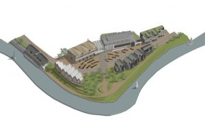
The new million-pound-plus homes at Bridge Point, where the rivers Tillingham and Brede meet, led to some queries being raised at Monday’s council meeting about the Environment Agency’s land ownership and policies in the riverside area.

The council was told that a map of the Agency’s land (which they were given) was indicative rather than accurate, and the agency had leased the moorings at Bridge Point – but the land the houses were on was owned by developers Martello – and agency policy was to normally lease land they owned rather than selling it.
Anthony Kimber warned Monday’s meeting that the examiner might come back with more questions, which might delay a vote, though he thought it was unlikely.
A vote alongside the elections would also probably provide a better turnout, he said, but time was tight.
The plan seeks to achieve “a thriving town for the 21st century” and includes policies on housing, design, flood risk, business, traffic, infrastructure, environment and community aspirations.
In the covering note to his detailed 12-page report to the council (agreed without any opposition) Anthony Kimber wrote “as John Howlett, who co-ordinated the work on traffic issues, has just died ….I should note with grateful thanks his contribution”.
Image Credits: Kenneth Bird , Martello Developments .


