As Rye News reported last week a planning application has been made to build houses on a strip of land between the railway line and the fire station and the telephone exchange in Mill Lane.
This will be discussed by the full town council next Monday 27 January, rather than just by the planning committee, and detailed comments have been circulated from Anthony Kimber, vice-chair of the Rye Neighbourhood Plan Steering Group.
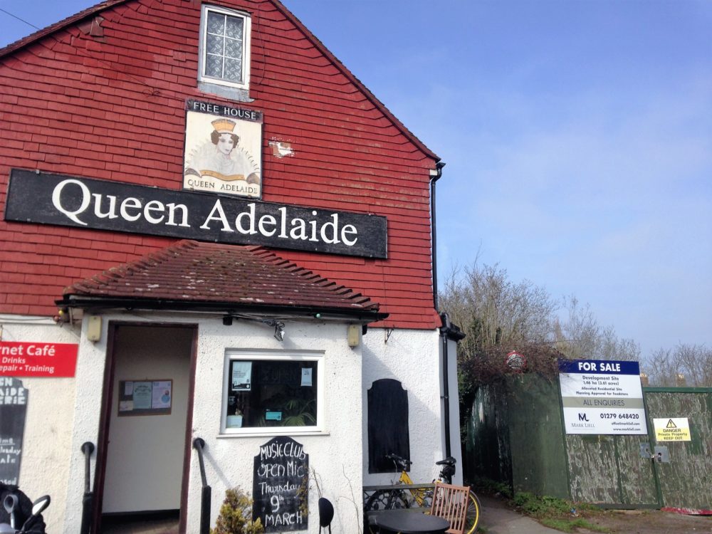
Mill Lane is on the other side of the road from the junction by the level crossing in Ferry Road, and faces the Queen Adelaide pub, to be demolished when the Lower School site behind it is developed for housing.
That large development has been approved by Rother District Council (RDC) subject to various details – and the devil may be in that detail (as it might be with these new proposals on the other side of Ferry Road).

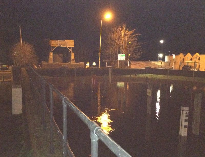
Rye is at risk of flooding because much land is below sea level, which is why there are tidal gates on some rivers and other defences.
In the case of the large Lower School development this was to be dealt with by trucking in loads of earth to raise the ground level, which meant a lot of lorry movements – and this was among the details RDC had to sort out.
This new proposal will also face flooding concerns, but a bigger concern is that it is by this junction near the level crossing which may be used by construction traffic to the Lower School site – as well as by fire engines and the normal traffic (which includes long distance lorries cutting across country to reach the Channel ports).
So a junction which is already extremely busy faces a big increase in potential traffic from more than one direction – possibly even requiring traffic lights.
Parking may also be an issue (and could be a headache for the Fire Service) but the bigger issue could be that junction, serving both developments as well as the fire station, in Ferry Road.
It is already incredibly busy and logjams form very quickly, not just when the crossing gates are closed, but also when a van is parked on the roadside, or because of those trying to get into or out of the nursery school or health centre.
And there is also the issue, with climate change, as Anthony Kimber points out, that floor levels are being allowed on the Lower School site by the Environment Agency below the exceptional high tide level Rye experienced in December 2013.
So there are a number of good reasons for the council to consider this carefully.
Image Credits: Rye News Library , Britainy Rae .


Quite apart from the physical location, I worry when any substantial development is proposed that doesn’t include supporting services and infrastructure – in this case, but not confined to, health services in particular. Resources in our town are already stretched and the addition of a further 200 or so residents isn’t going to help matters unless some compensating provision is made.
Charles Harkness says ‘It is already incredibly busy and logjams form very quickly’ when referring to Ferry Road and proposed housing developments. I say ‘You ain’t seen nothing yet’. Just wait until the Hastings Bexhill Queensway Gateway link road is open. This will greatly increase the number of heavy vehicles travelling through Rye from that direction.
Truck drivers and others, will much prefer driving from the Harrow to Broad Oak and then to Rye and vice versa, rather than using The Ridge and A259 through Guestling, Icklesham and Winchelsea.
Already many have discovered this route, evidenced by the notable increase of trucks and other traffic through Brede in recent years, that situation can only get worse.
Proposed developments in the region of Rye Station, whilst allowing commuters to not have to walk too far, are a recipe for disaster. Increased through traffic coupled with higher local vehicle use will become a serious obstacle to emerging Fire appliances on an emergency call.
It is usual when writing comments such as this to state that lives will be lost, I leave the readers of Rye News to consider the veracity of that statement in this context.
Instead of building houses a good idea would be to build more shops.
Maybe if East Sussex County Council had not reneged on their original plan for a supermarket on that site, after promising Tesco the site,and then selling to Sainsburys, we would not be having this quandary, the people of Rye were asked if we wanted another supermarket, and the majority said yes, now the town will be lumbered with an over development of new houses, which will no doubt be for weekenders,and the buy to let brigade.
I thought this land on the left leading up to the Windmill had had planning permission refused in the past. Am I correct in thinking this? I believe the land belongs to the Railway, and I presume it is all part of selling assets to fund current revenue. I, for one, would not want to live so close the railway and this area has trees etc. that enhance the area, as it does on the strip of land on the other side. I support those who have written above, there is more than enough traffic by the crossing and on the B2089. We need no more and I hope planning is refused for all time. Certainly with all the new builds, I see no increase in expanding and enhancing our drains, water supply, and other services. I doubt if the development will be social housing, which is what is desperately needed.
Also the proposed planning application includes the destruction of the woods that run alongside the station, an area that is home to a huge diversity of wildlife and is one of the last nesting sites for the turtle dove as outlined in the Rye News online petition to save the woods. If this horrible spectacle is allowed to go ahead we will be losing a large part of the character of Rye which attracts so many visitors each year. It’s not fair that London developers can just run roughshod over the views of local residents just so that they can build more holiday homes and buy to let properties.