In 2015, I wrote about the Environment Agency’s plans to improve the eastern bank of the River Rother to match the work completed on the western side.
Since then, other articles have followed. RTWES is the missing piece of the Folkestone to Fairlight flood defence scheme; all other sections now having been completed.
After several years of planning and work to secure the funds required, the Environment Agency has now started work.
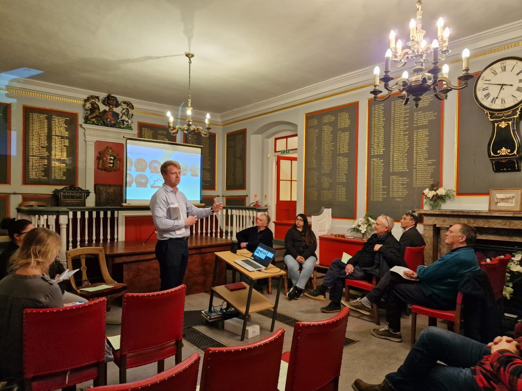
On Monday evening, the Environment Agency and its contractor, Volkerstevin briefed Rye Town Council on the project. Councillors were able to ask about many aspects of the work.
There will be “drop-in sessions” at the Volkerstevin Site Office, Environment Agency Depot at Scots Float, Military Road, Rye, East Sussex, TN31 7PJ, to enable the wider community to study the detail and ask questions. Details will be published separately.
The project stretches for 6.5km and incorporates several features to protect and enhance bio-diversity. Many will have seen the green reptile traps on the Marsh in various parts of the route.
Reptiles, such as a large number of newts and some grass snakes, have been captured and relocated. 3 badger sets are being moved. Where some salt marsh is damaged compensating additions will be made elsewhere along the route.
Preparation will continue until Spring 2023, when engineering work will start. It is expected to continue until Summer 2025, dependent on weather.
The RTWES work is summarised as
“to improve the existing flood defence provision along the east bank for the River Rother by undertaking the work” to:
– raise and widen the embankments along the River Rother from the harbour master’s office to Scots Float sluice, to a similar height to the western side (around 5.8m AOD).
– repair and stabilise the Union Channel sluice and pumping station;
– significantly improve the banks downstream of Union Channel, between the two bridges to the west of Kings Avenue and downstream of the Monkbretton Bridge. This work will involve some changes to the direction of the embankment;
– raise ground levels around the harbour master’s cottages.
The project is designed to mitigate the threat of flood risk from the anticipated rise in sea levels by climate change over the next 50 years and is important for the safety of residents, farms and businesses to the east of the Rother
Public information events at the Environment Agency Scots Float Depot are being planned to enable interested parties to view the detailed proposals and maps.
Details will also be publicised on the REACT Facebook site: @ryeact and in Rye News.
During the work, some footpaths will need to be rerouted. The contractor will bring material to site from the east to keep heavy vehicles away from Rye.
Further updates will follow as progress is made.


Thanks very much for the updates. Very helpful to know more about what is planned, how long it will take, and that environmental concerns hare being addressed.
Here are some questions that I have had about the local flood defences, which no one seems to know the answers to—as our flood defences have been paid for with public funds, shouldn’t the public have access to the entirety of the riverbanks? It doesn’t seem fair that we don’t. Could the berms all be incorporated into the local public footpath system? Do the landowners contribute anything to help pay for the maintenance of the defences that have been closed to public access?
Anything that would get more people out and about, using the beautiful environs of Rye, would be a positive thing, in my opinion. Local businesses would benefit from added visitors, and everyone would benefit from improved physical health. I know that SUSTRANS has been working on plans to improve the local walking and cycling paths, and it would be interesting to hear how their work is progressing.
Lawrence. Thanks. These are valid questions that could be put to the project team at their Scots Float depot. I can say that the position on public access around the Rye waterways is complicated by the jigsaw of land ownership , but I would be happy to discuss with you as we considered this when we produced the Rye Neighbourhoid Plan, for which I remain the coordinator.
I whole heartedly support the work to safeguard the sea/river defences for our town of Rye and other communities and very much support preserving nature and wildlife too! However I hadn’t done the walk back to Rye along the river from the barrier in Military Road for some time and couldn’t believe the extent of the collecting green barriers to catch and relocate some of the wildlife! I dread to think of the cost implications when on the other hand there seems to be no extra financial support from Rother Council to keep our valuable Swimming Pool open!